Clear Fork Trail
Clear Fork Trail
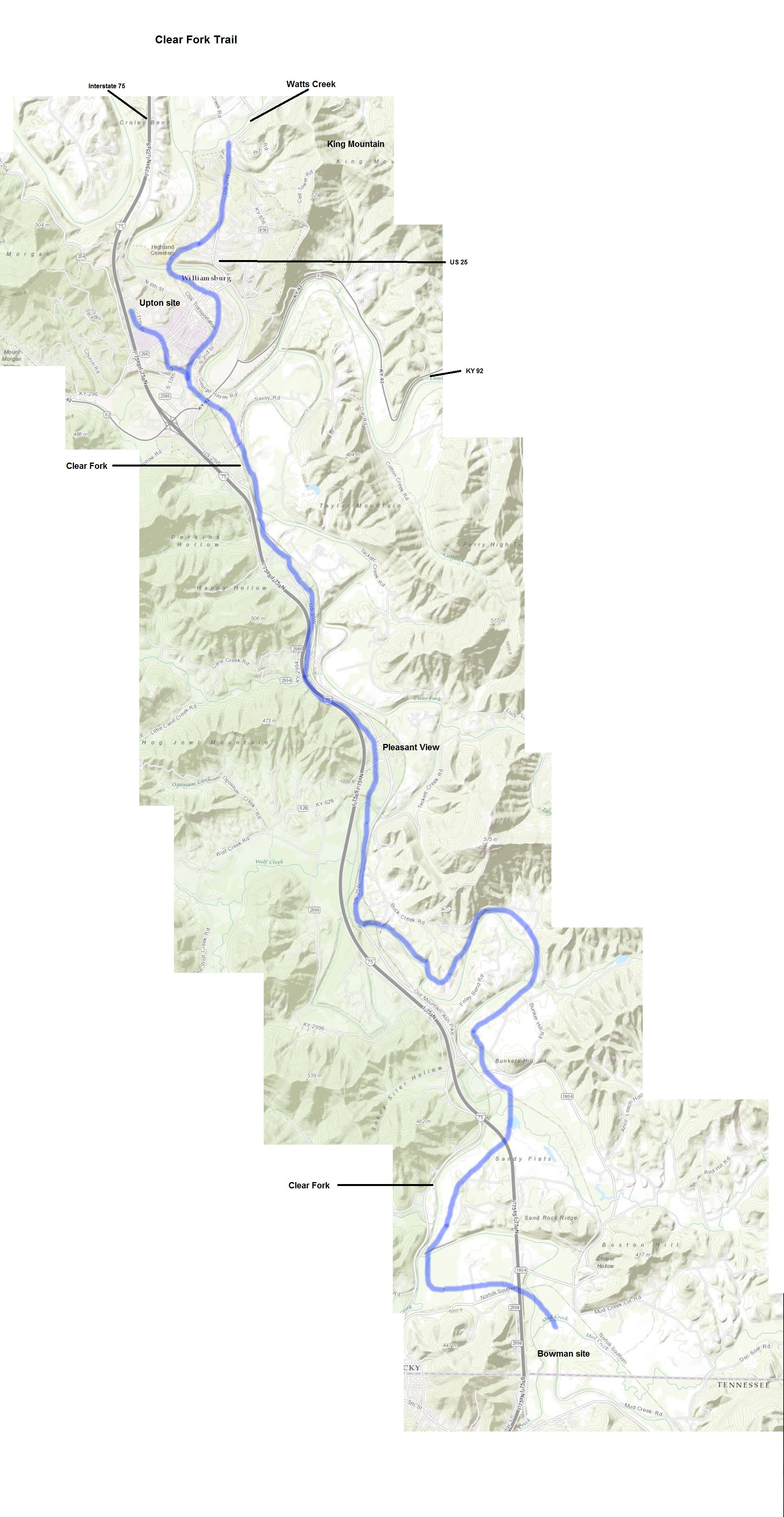
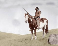
Excerpted from "Prehistoric Trails of the Upper Cumberland River Basin" By Charles Mayer Dupier, Jr. "The Clear Fork Trail is a continuation of that part of the Capuchin Trail which descends Elk Creek. It runs from the Bowman site (about a quarter of a mile north of the Tennessee line) to the present site of Williamsburg, Kentucky. Thomas Walker and Captain Daniel Smith traveled this route on November 22-25, 1779. On Saturday, November 20, 1779, they arrived at the point they believed to be 36 degrees, 30 minutes North Latitude along the Clear Fork River (They were actually at 36 degrees, 35 minutes, 30 seconds North). On Sunday, November 21, Smith made the following entry in his journal: "This morning a party of Cherokee Indians and a White Man of the name of Springstone came to us..." Upon leaving their camp and heading northward, they stopped by the Indian camp (It is possible that Springstone and the Cherokees were camped at the Bowman site, which is about one-fourth mile north from Smith's camp) and recruited three of the Cherokees to guide them to the Wilderness Road. The Indians led them down the east side of the Clear Fork, keeping to the edge of the flood plain. They crossed the river at the present site of the community of Pleasant View. From there they kept down the west side of the river until they came to the Cumberland River, about one-half mile below the confluence of the Clear Fork and the Cumberland. On November 25, they "travelled across from the river to Indian Cr. [Watts Creek]. "(36) This last short leg of the trail, from the Cumberland to Watts Creek, about three miles, follows the river downstream for about one-half mile, then it forks. The left fork continues to follow the river to a shoal that is easily forded. Upon crossing the shoal, one would be at the Upton site in Williamsburg (This was the path of the earliest road into Williamsburg when it became the seat of Whitley County in 1818). The right fork led up what is now known as King's Mountain to an erosional terrace about 100 feet above the river (the Highland Park district of Williamsburg), along that level terrace northward for about two and one-half miles, and down a small branch to Watts Creek, about one-fourth mile above its confluence with the Cumberland River.(37) The route of this trail is also depicted on the Reconnaissance Map of 1894."